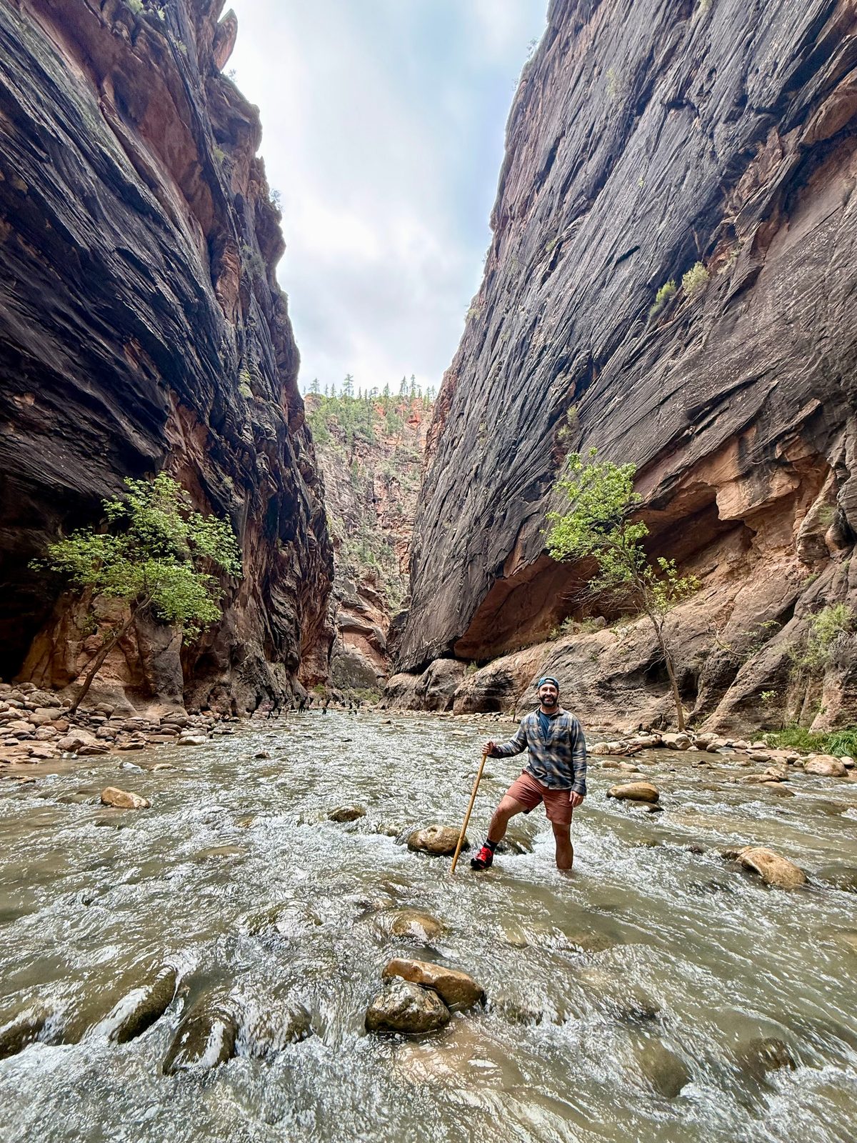
 Photo
How we ended up here
This was the last adventure we had planned for 2026.
Utah has five national parks, all in the southern half of the state and close enough together to string into one road trip, if you are willing to spend a great deal of time in a car. We were.
Three bases. Springdale for Zion. An outdoor hotel in Escalante for Bryce. Moab for Canyonlands and Arches. Capitol Reef we did on the drive between the last two. Trisha came, and so did the dogs, who saw a lot of Utah through a car window and not much of it from a trail, because almost none of the trails in these parks allow dogs.
We had the trip ending on Sunday. We drove home on Saturday.
- ZionTop 5
- ArchesGo Back
- Bryce CanyonOne-Time Visit
- CanyonlandsOne-Time Visit
- Capitol ReefOne-Time Visit
Stop 1 of 5 · Saturday to Monday
ZionSpringdale, Utah
Vail to Springdale
Saturday we drove from Vail to Springdale. I-70 west, I-15 south. It is a full day of interstate, and there is nothing to say about it except that it ends at Zion.
We got in around four or five in the afternoon, which did not leave much daylight. I used it. Trisha walked the dogs along the river, and I went quickly up the trail to the Lower and Upper Emerald Pools, a couple of miles, moving fast because the sun was going.
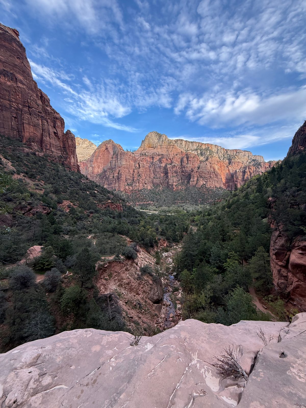 Photoassets/zion-emerald-pools.jpeg
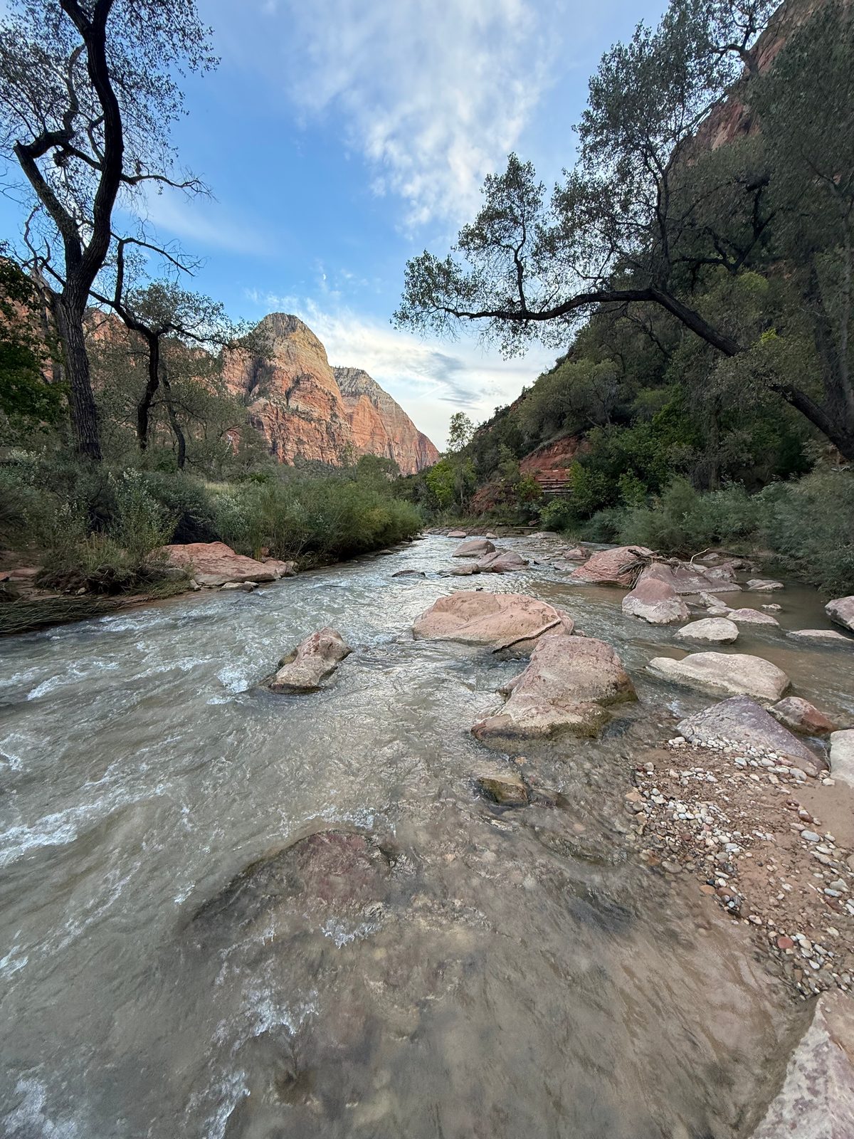 Photoassets/zion-virgin-river.jpeg
The Narrows
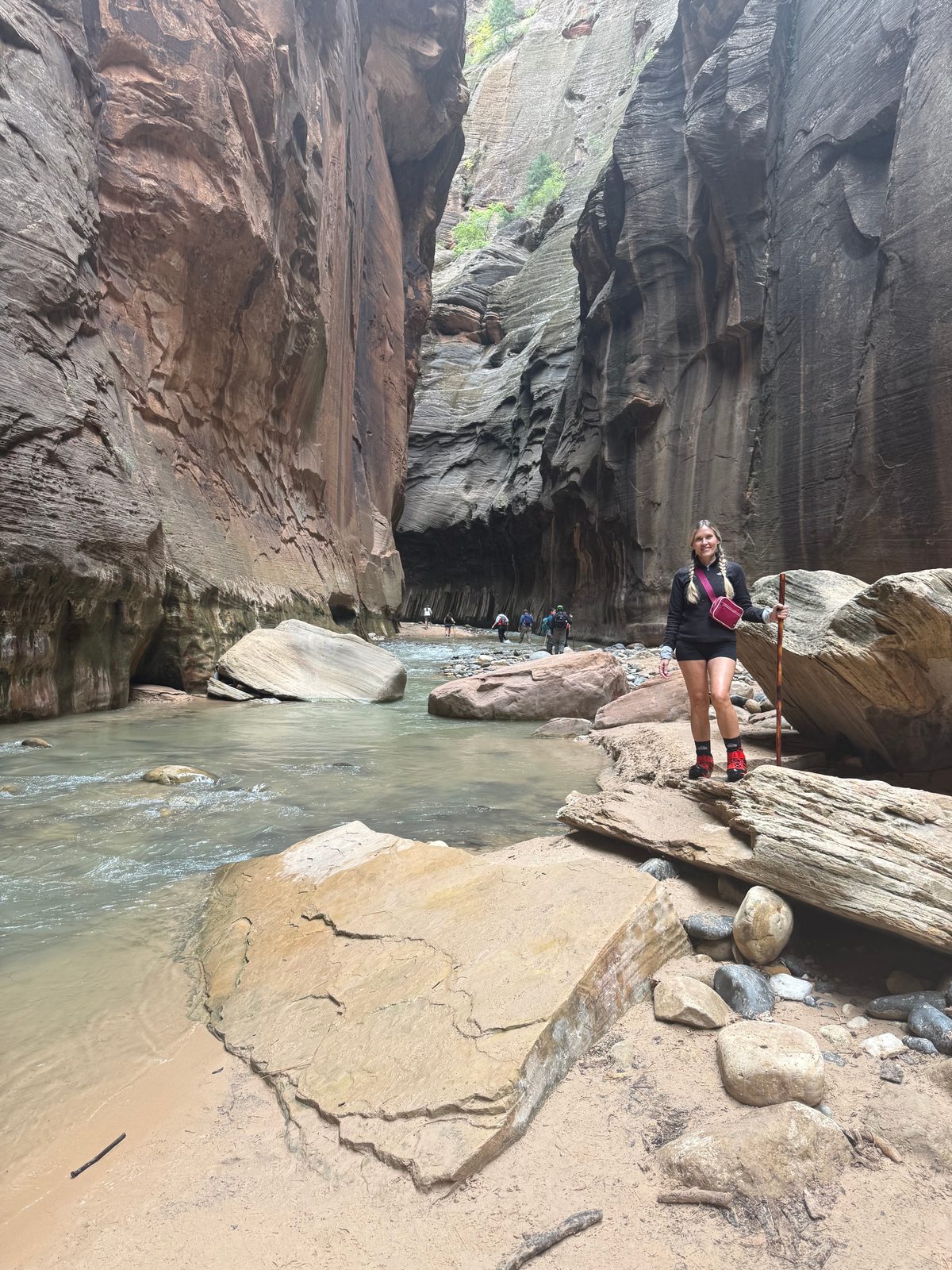
Sunday was the Narrows, and it was our first time hiking up a river.
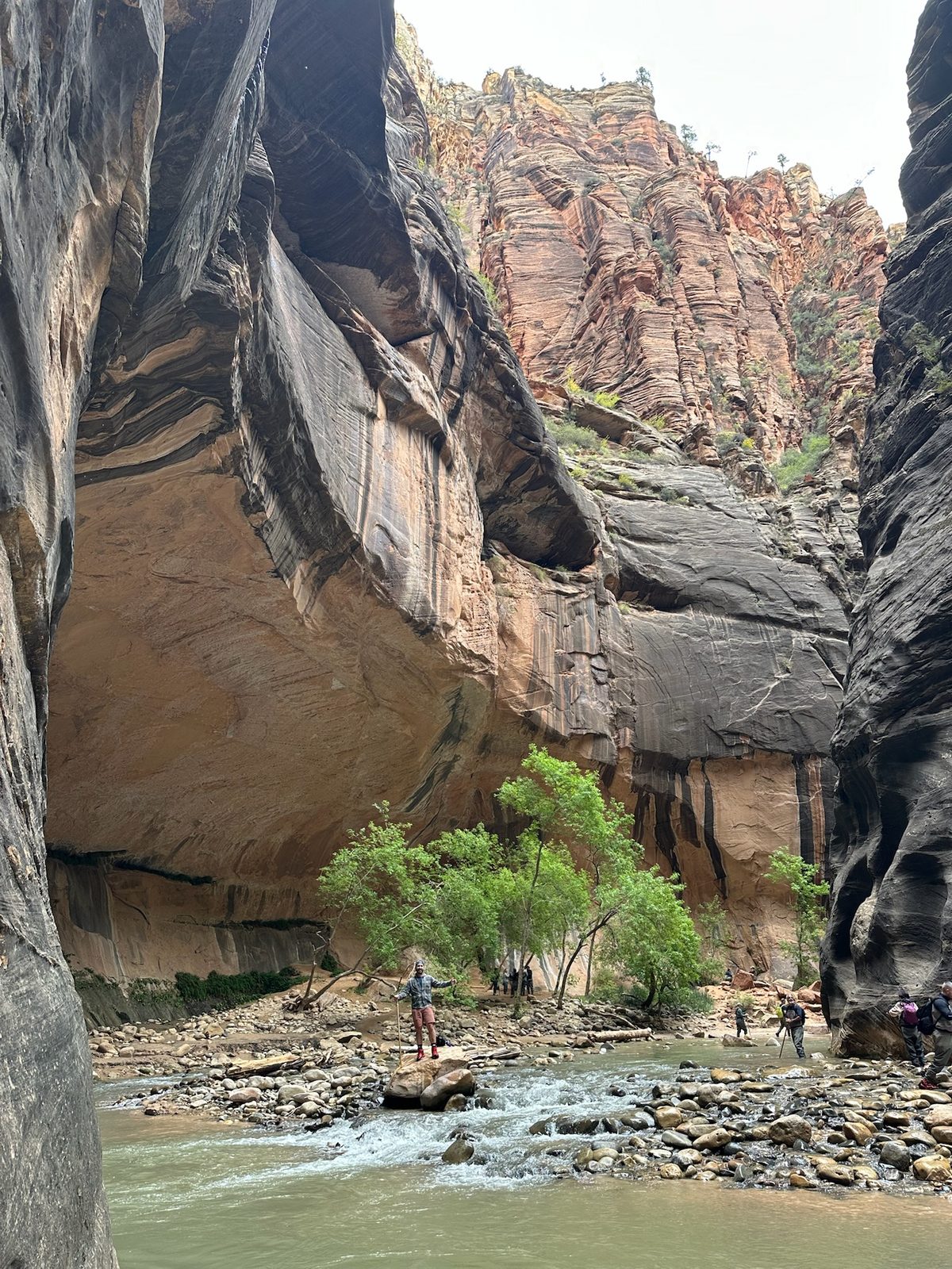
The Narrows is the part of Zion where the canyon closes in and the Virgin River takes up the whole floor. A paved path, the Riverside Walk, gets you the first mile from the Temple of Sinawava shuttle stop. After that the river is the trail. You walk up the middle of it, against the current, between walls that keep getting taller and closer together.
It was packed. The first couple of miles are a crowd in a river. Go past the two-mile mark and the herd thins out. We went about three miles in, turned around when we felt we had seen it, and loved every moment of it.
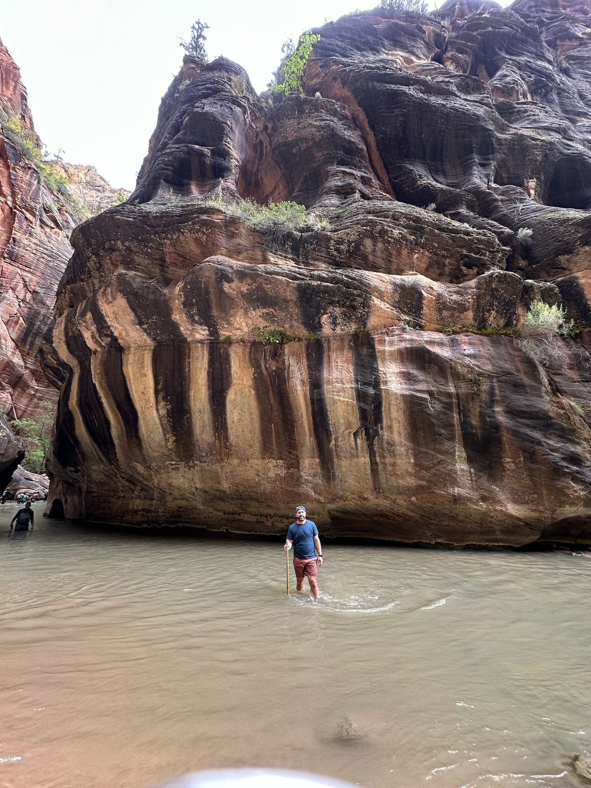
We skipped the waders and rented the shoes and the socks. The water was fifty-five degrees, and it never came above my waist.
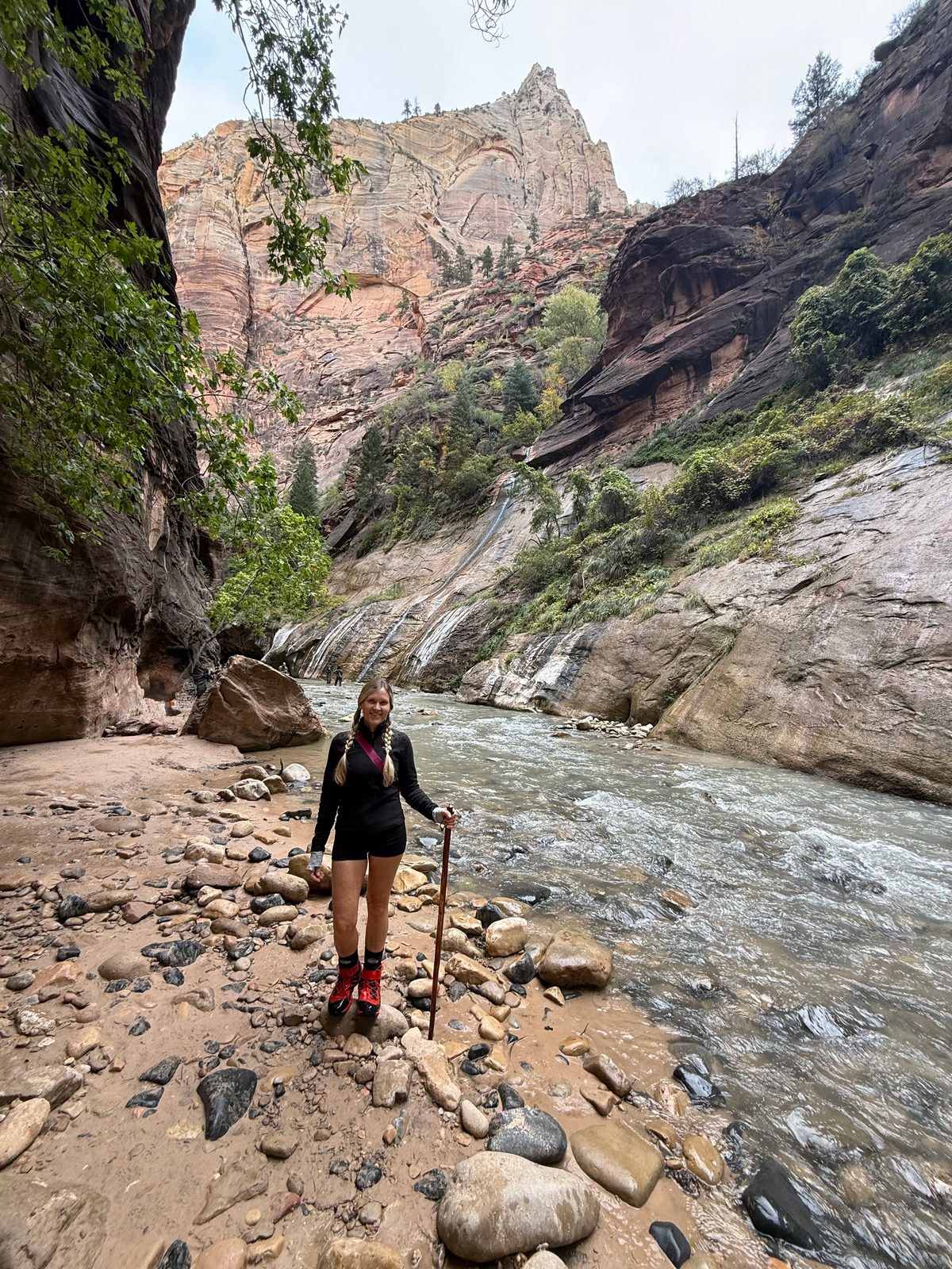 Photoassets/zion-narrows-trisha.jpeg
 Photoassets/zion-narrows-walls.jpeg
 Photoassets/zion-narrows-alcove.jpeg
Those walls used to be sand dunes
The rock the Narrows is cut through is Navajo Sandstone, and it started out as a desert. Around 180 to 185 million years ago this part of the continent was a sea of sand dunes, some of them several hundred feet high, piling up on top of one another until the stack was more than 2,000 feet thick.
The weight of the layers above and mineral-laden groundwater turned the sand to stone. The slanting lines in the walls, which geologists call cross-bedding, are the faces of the old dunes, still tilted the way the wind blew them.
The sandstone is at its thickest, about 2,200 feet, right around the Temple of Sinawava. That is the shuttle stop where the Narrows hike begins.
Per the National Park Service, Sand Dunes to Sandstone and Navajo Sandstone. Thickness at the Temple of Sinawava per Utah Geology.
So you are wading up a river at the bottom of a desert. The water is cold, the walls are enormous, and every one of those lines in the rock was once the face of a dune rolling across a landscape with no river in it at all.
 Photoassets/zion-narrows-varnish.jpeg
 Photoassets/zion-narrows-selfie.jpeg
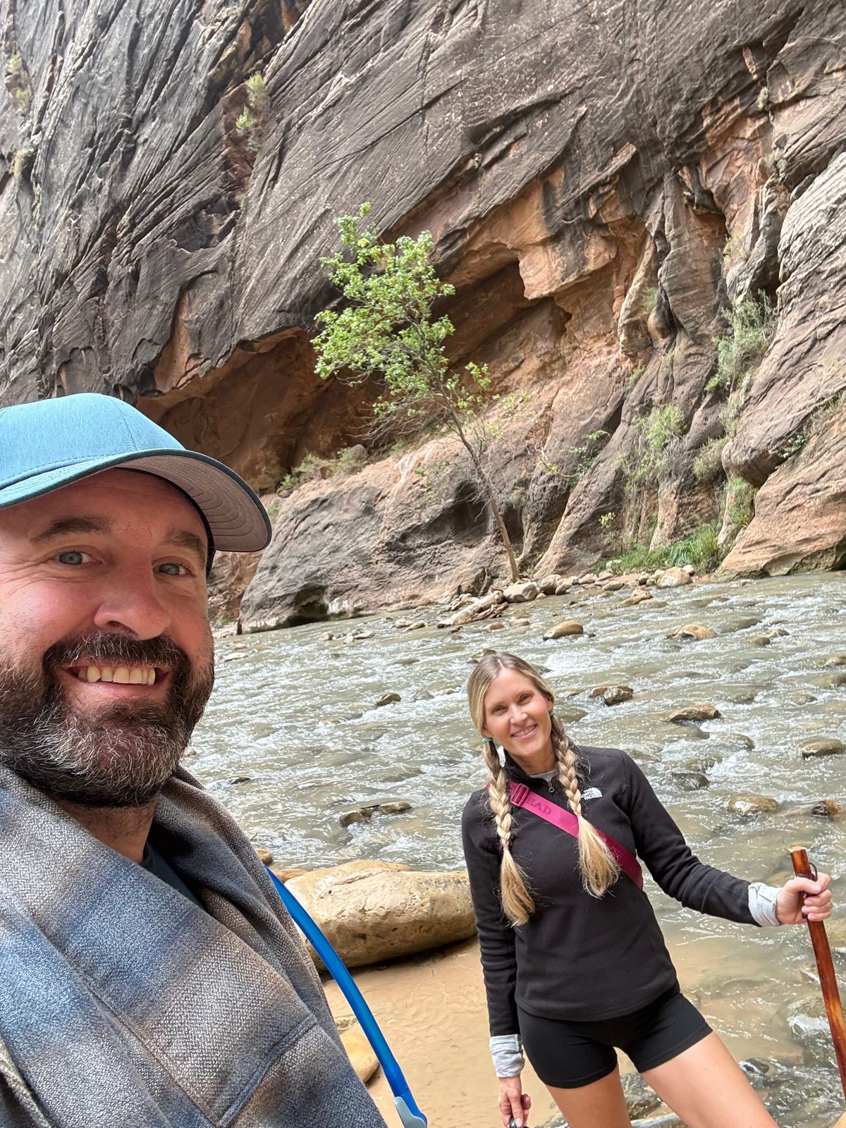
It was the highlight of the trip.
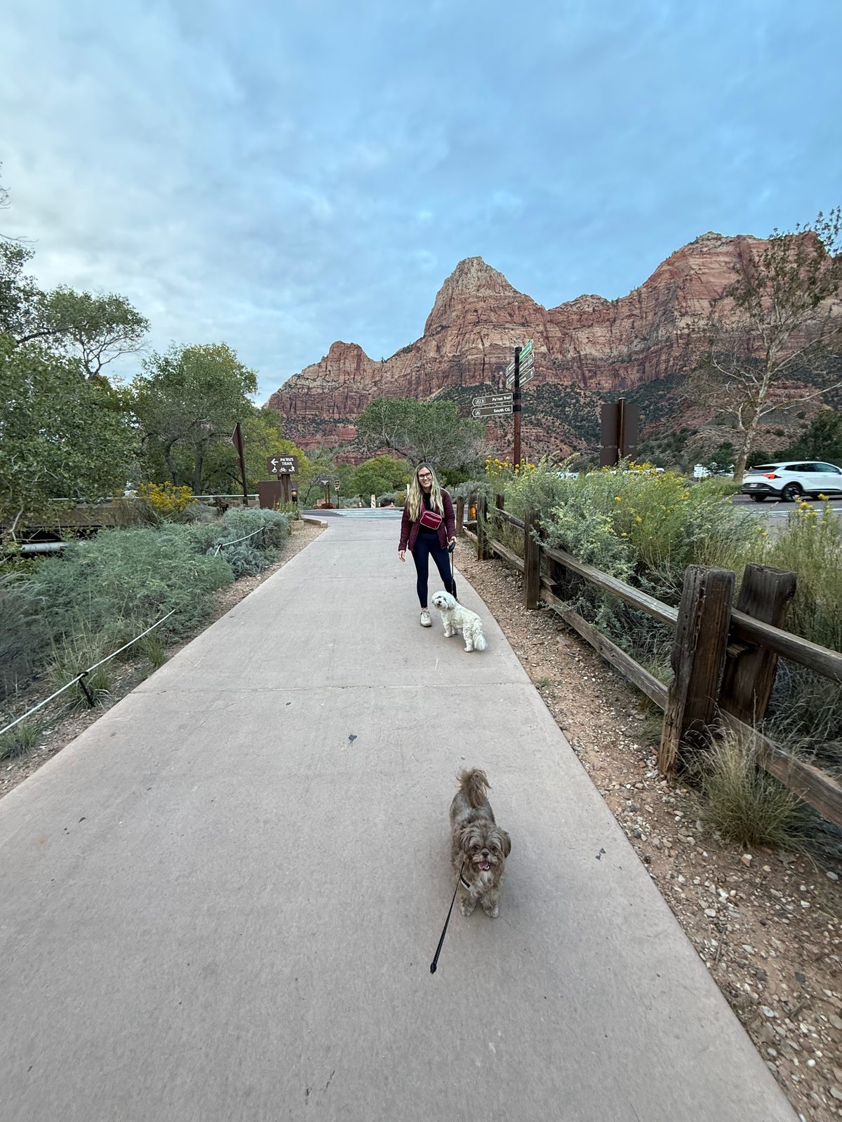
Then we went back and took a nap. In the evening we took the dogs out and had a beer outside by the river.
 Photoassets/zion-dogs.jpeg
Scout Lookout, against the clock
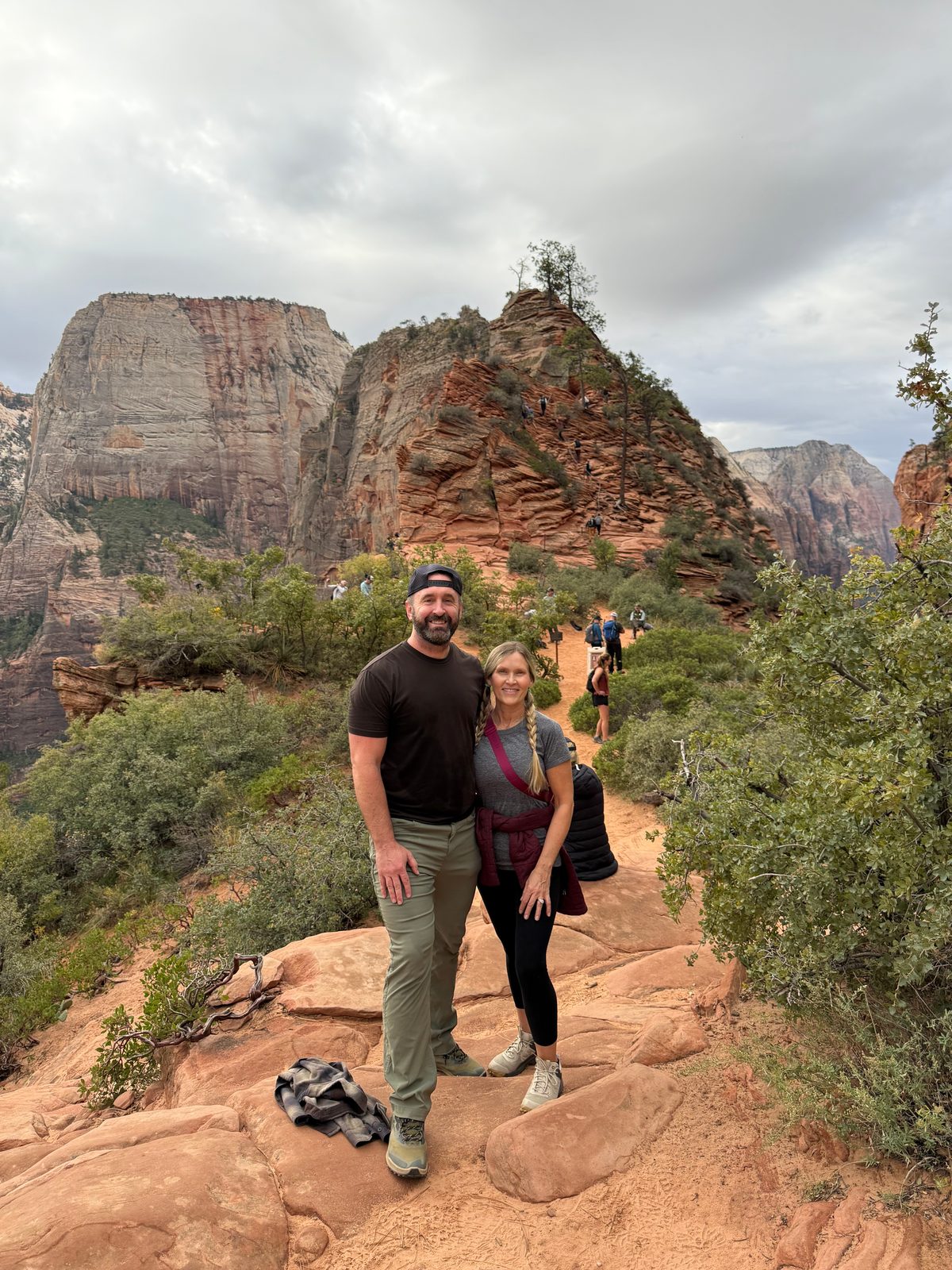
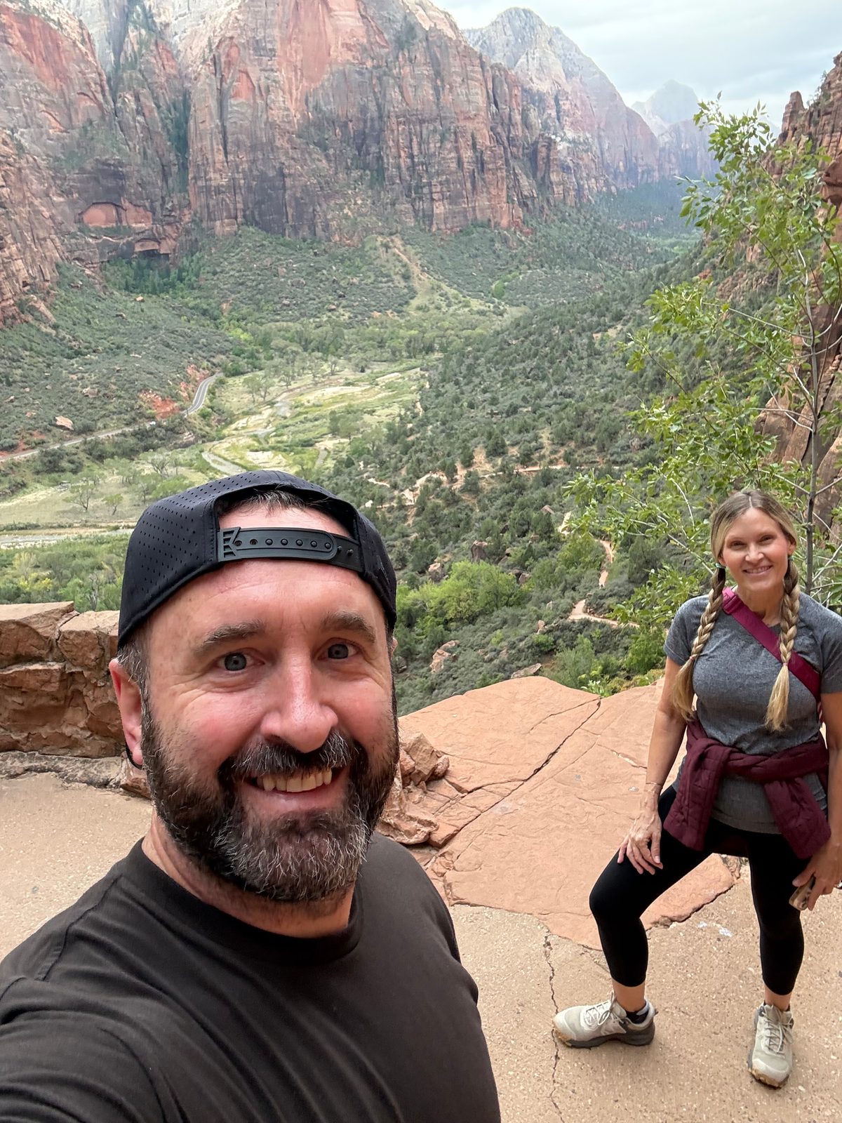
Monday we had three hours until check-out and one more hike in us. We hustled into the park and onto the shuttle for Scout Lookout, which is the top of the climb toward Angels Landing.
Angels Landing itself, the last stretch along the chains, needs a permit, and the permit comes from a lottery. We entered. We did not win. I was fine with it.
The deal was simple: finish in under two hours or be late for check-out. We did it in an hour and forty-five minutes.
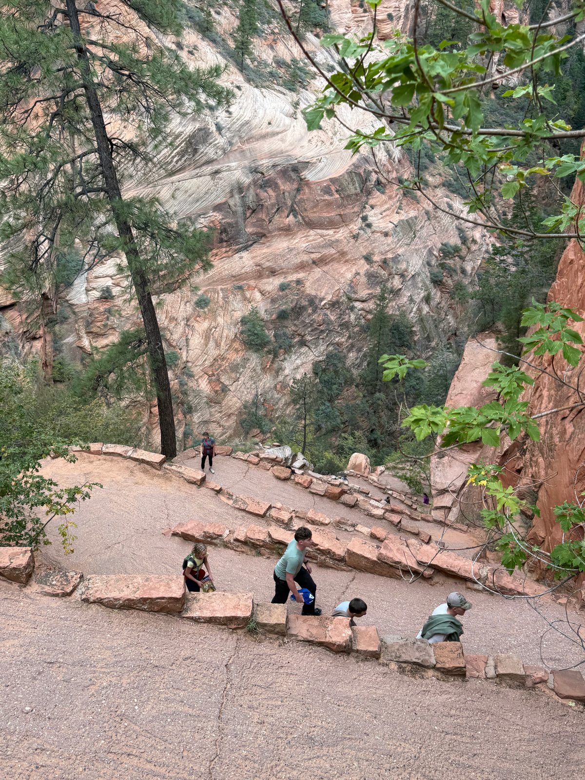
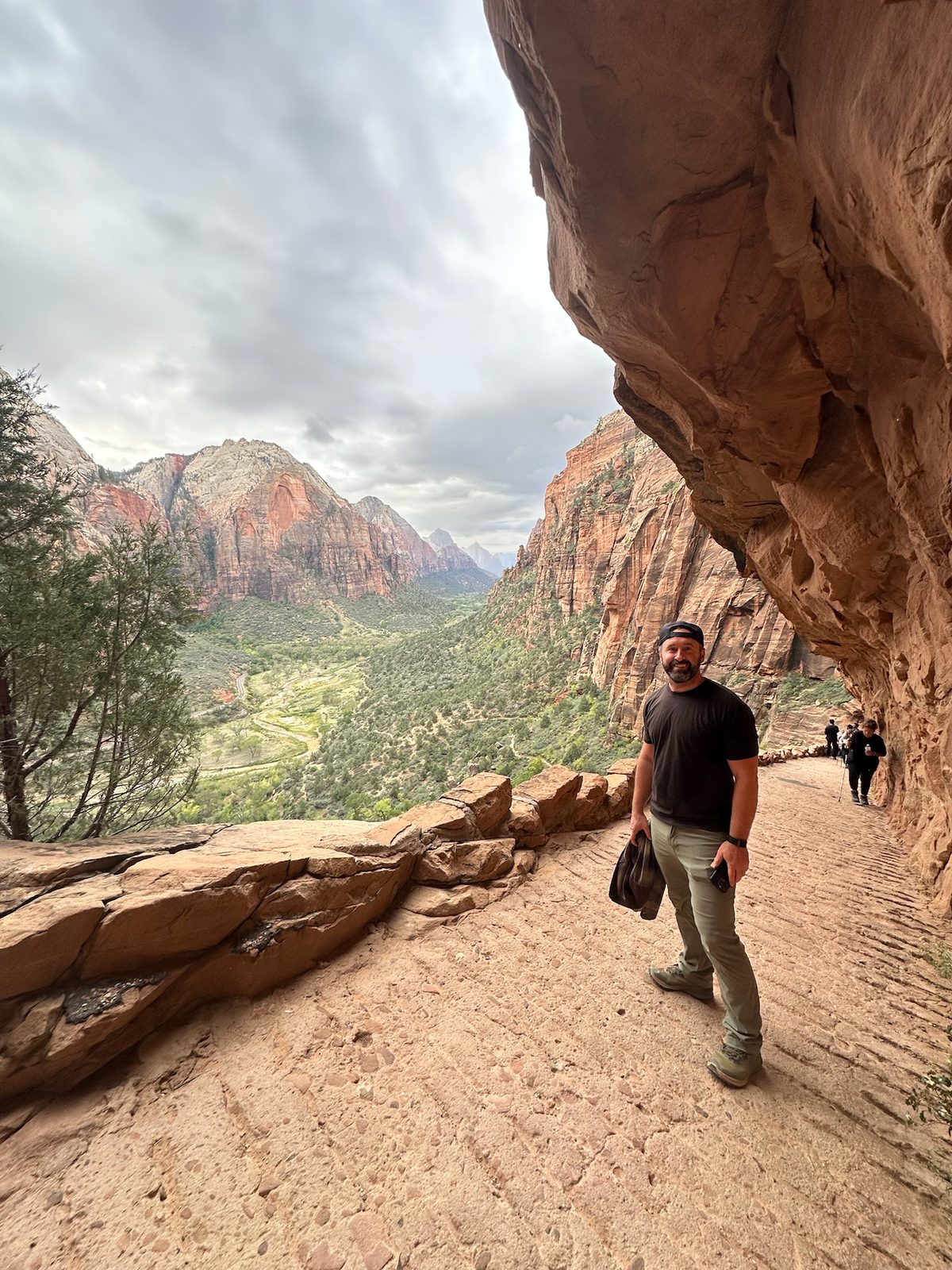
The trail guides put it at roughly four miles round trip with about 1,100 feet of climbing. The last of that is Walter's Wiggles, twenty-one tight switchbacks stacked up a gully, named for Walter Ruesch, Zion's first superintendent. The accomplishment was worth it. Then you turn around and there are the views.
 Photoassets/zion-scout-lookout.jpeg
 Photoassets/zion-walters-wiggles.jpeg
 Photoassets/zion-west-rim.jpeg
 Photoassets/zion-canyon-selfie.jpeg
The verdict · Zion
Top 5
The first Top 5 on the list.
Every park on this site until now has been a One-Time Visit. Zion is the first to make the Top 5, and the Narrows put it there.
Top 5 means plan a trip around it, and Zion deserves exactly that. We gave it a late afternoon, one full day and a morning against the clock, and still left Angels Landing and Observation Point for another visit.
Go when the river is low enough to walk. Rent the shoes and socks. Keep going past two miles.
Stop 2 of 5 · Monday and Tuesday
Bryce CanyonEscalante, Utah
A cloudy rim, and a drive-in
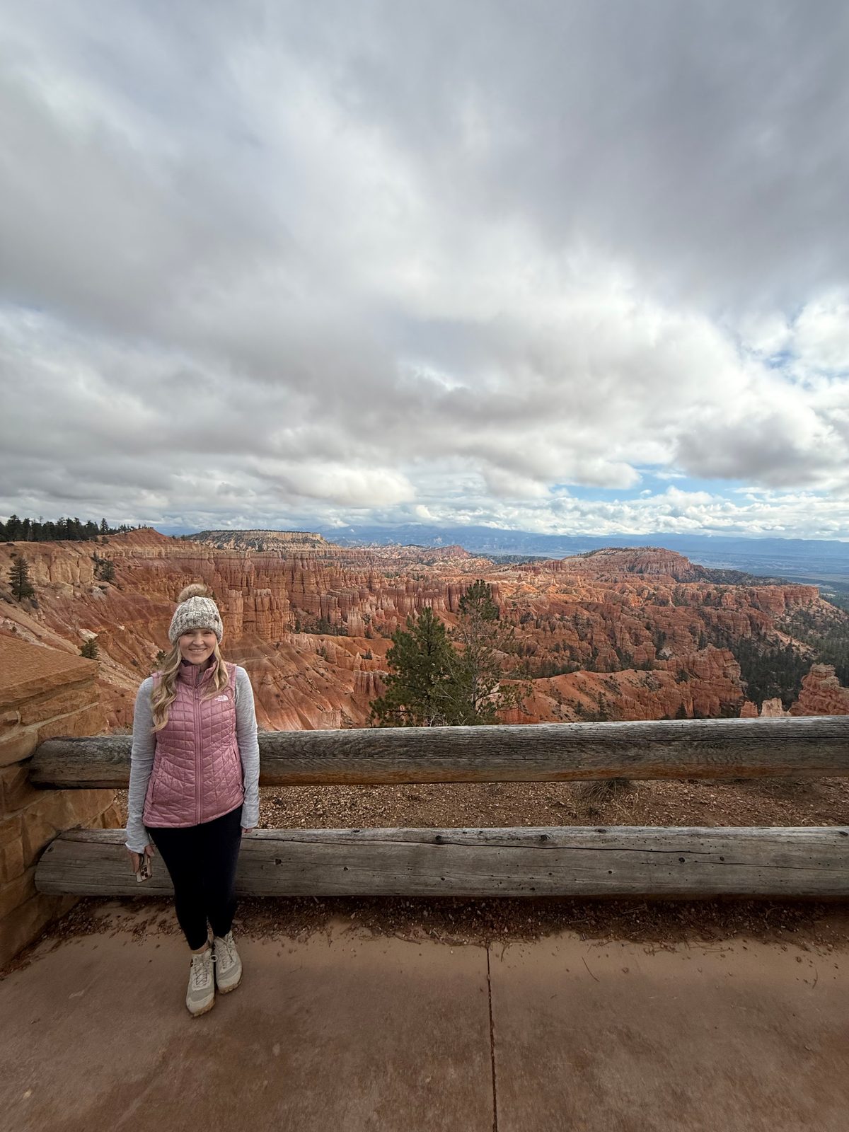
Monday afternoon we left Zion for Bryce, and for our next base, Ofland Escalante. Bryce was cloudy, so we kept it short: half an hour on the rim at Sunset Point, knowing we would be back the next day.
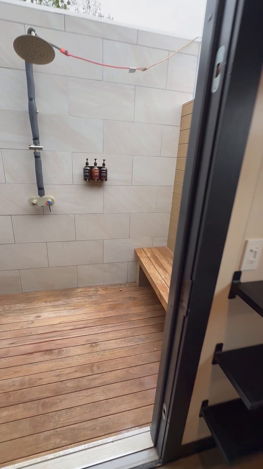
Ofland is exactly what it sounds like when somebody describes it. An outdoor hotel built on the site of an old drive-in, with tiny homes, vintage trailers, and a movie screen you watch from one of the classic cars parked in front of it. When we were there, it was showing The Breakfast Club.
The tiny homes are really cool, and we recommend it, with one catch. It is a good hour from Bryce, so if Bryce is the only reason you are in the area, that hour each way adds up.
 Photoassets/escalante-ofland-shower.jpeg
Down among the hoodoos
Tuesday we went back, and this time we started at the visitor center. Two things in there were worth the stop. One was how hoodoos are made. The other was a wall map of the whole region, all the way down to the Grand Canyon, with the layers of rock stacked up and hundreds of millions of years of history in them.
That map is the clearest way to understand this trip. Geologists call it the Grand Staircase: a run of cliffs that climbs north out of the Grand Canyon, each step a younger layer of rock than the one below it. The Grand Canyon's rim rock is the bottom step. Zion's white cliffs are partway up. Bryce's pink cliffs are the top step, the youngest rock on the stairs.
We started this trip in the middle of the staircase and finished the climb at Bryce. The Grand Canyon, where we stood at the rim nearly three years ago, is the bottom of the same set of stairs.
 Photoassets/bryce-sunset-point.jpeg
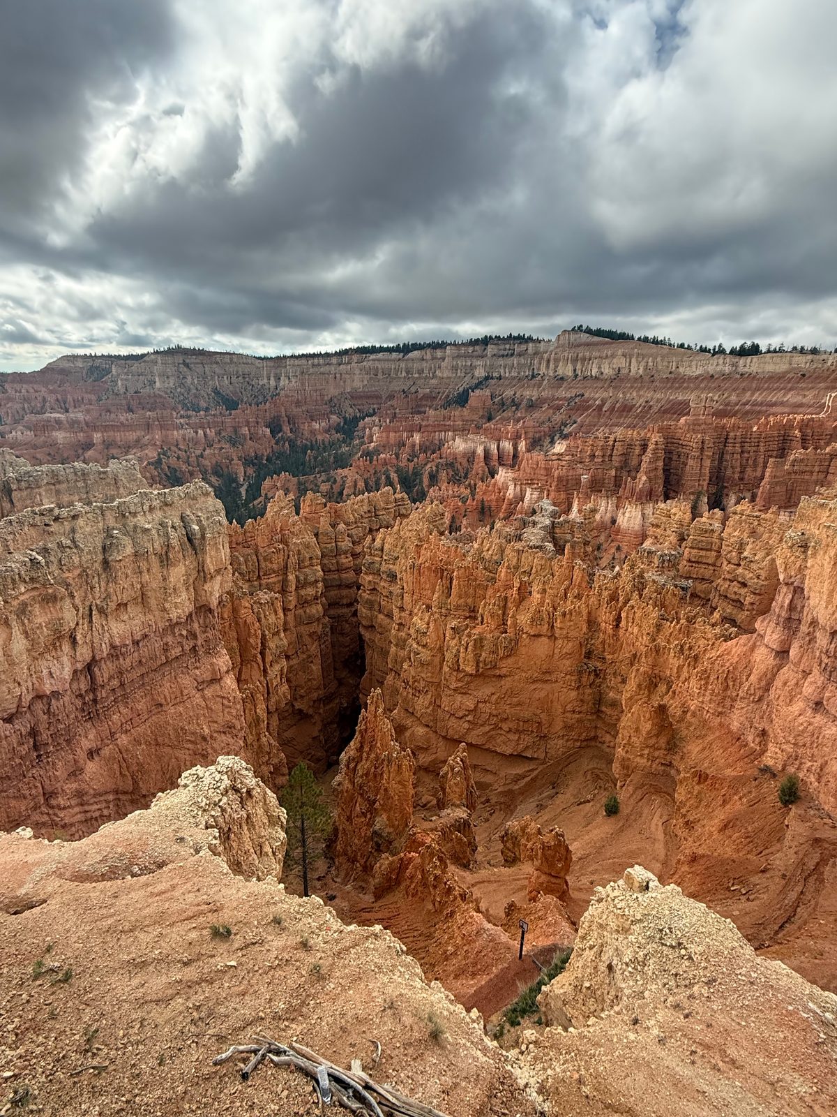
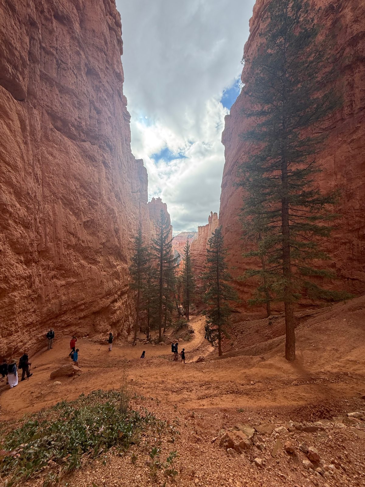
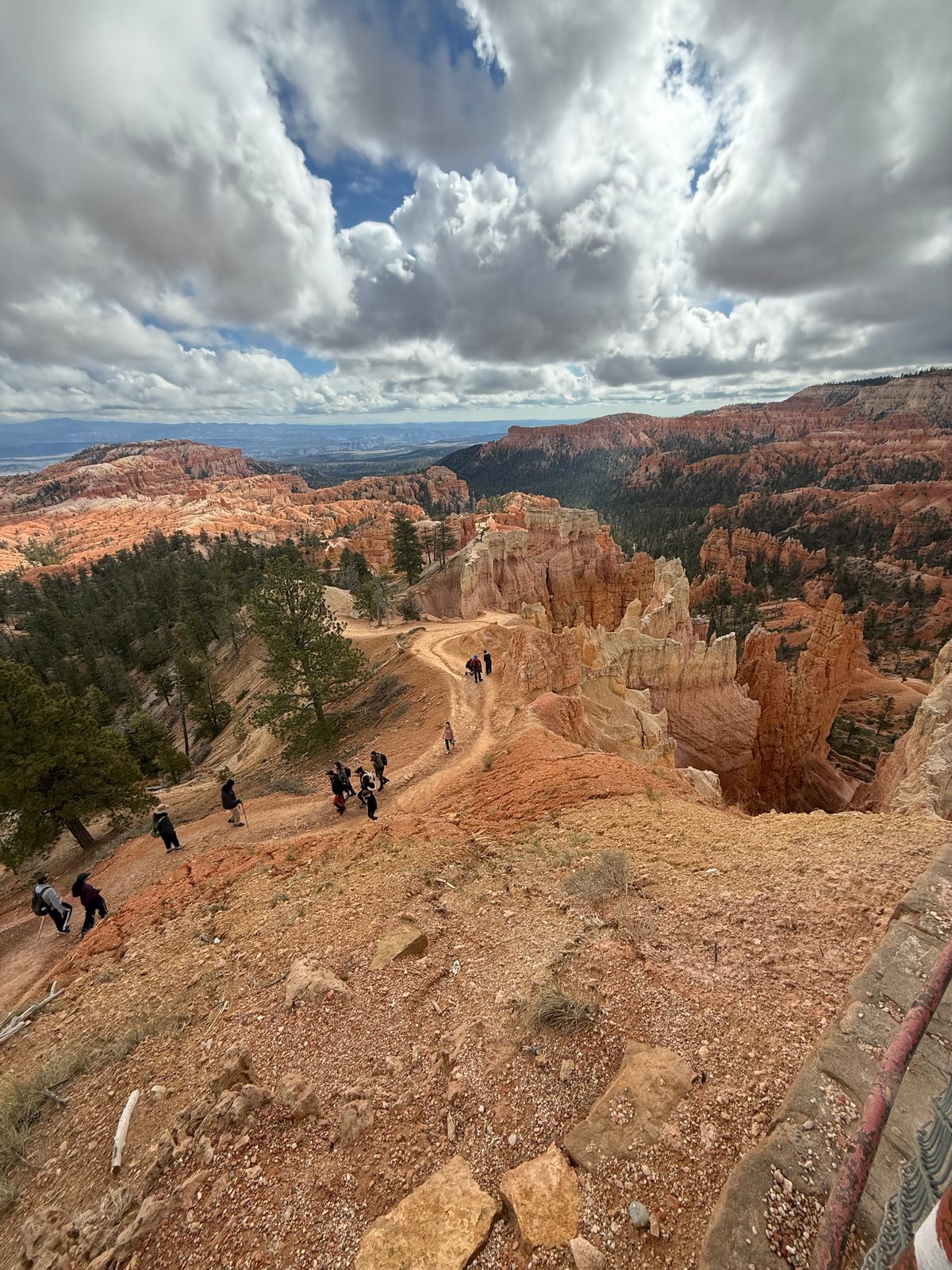
Then we hiked it: down the Navajo Loop from Sunset Point, through the bottom, and back up the Queens Garden trail to Sunrise Point. The Wall Street side of the Navajo Loop was closed because of falling rock, so we took the side that was open. The dogs stayed back.
The first photo on the rim is from just before eleven and the last one is from Sunrise Point a little after noon, so call it an hour and a quarter between the two rims.
 Photoassets/bryce-amphitheater.jpeg
 Photoassets/bryce-canyon-floor.jpeg
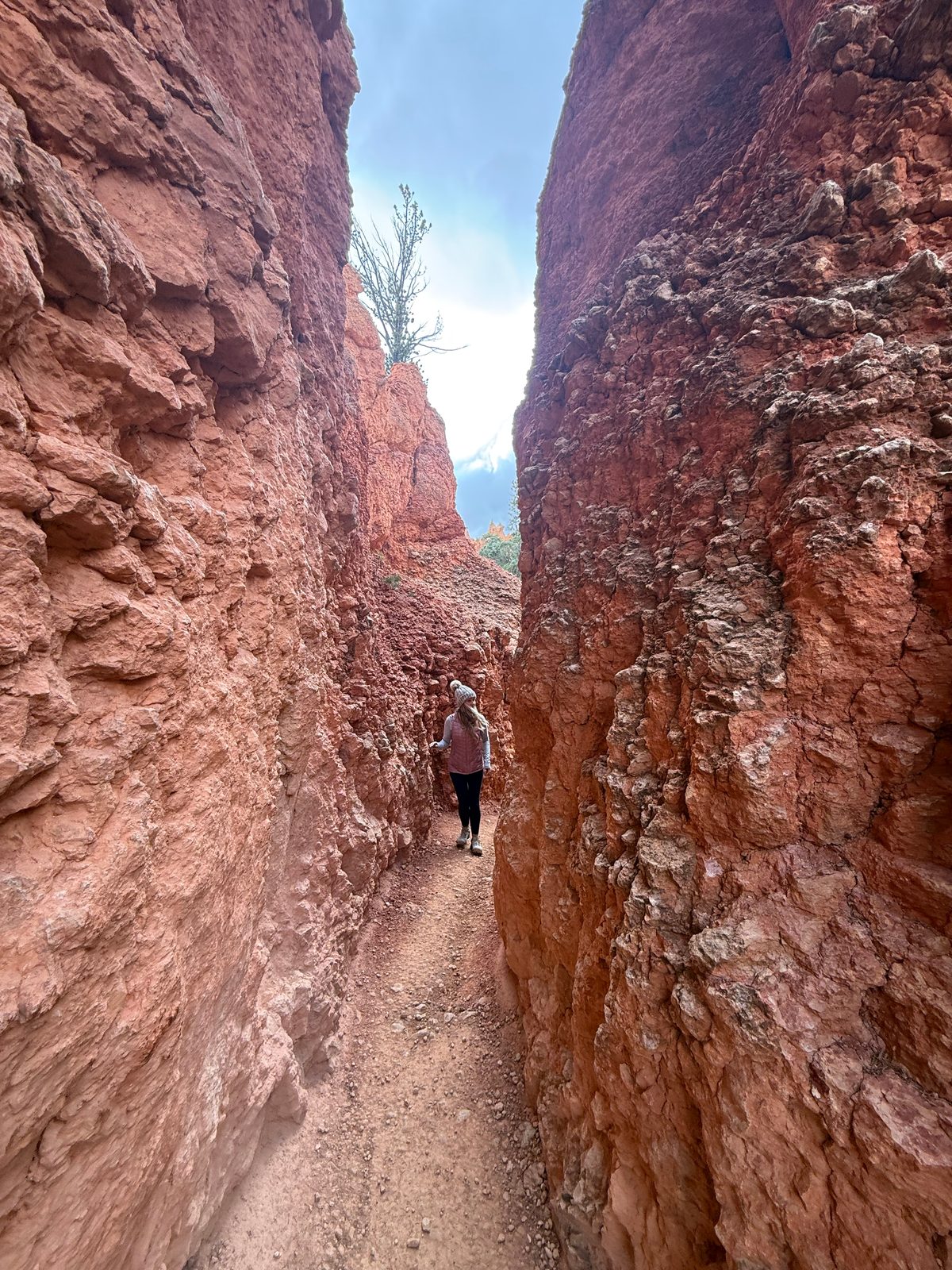
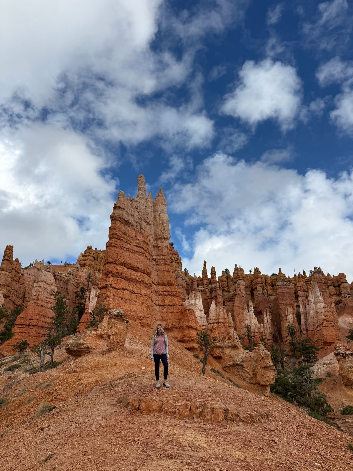
From the rim the hoodoos look like a crowd. Down on the trail you are in the crowd. There are passages where the rock closes in to one person wide, and spires that make a person look like an afterthought.
 Photoassets/bryce-slot.jpeg
 Photoassets/bryce-hoodoo.jpeg
Bryce is still being carved, one cold night at a time
Hoodoos are made mostly by frost wedging. Rain and snowmelt run into cracks in the rock, freeze overnight and expand, prying the rock apart a little at a time. The sun comes up, the ice melts, and the next night it happens again.
At Bryce's elevation that is not an occasional thing. The park counts more than 170 nights a year when the temperature swings above and below freezing. Rain, which is slightly acidic, dissolves the limestone and rounds off whatever the ice leaves behind.
Bryce is also not actually a canyon. No river carved it. It is a series of amphitheaters eroding into the edge of a plateau, taken apart from the top down by weather.
Per the National Park Service, Hoodoos and the Life of Hoodoos wayside. The Grand Staircase per its geological summary.
Which means the hoodoos in these photos are not finished. Some of them will fall. New ones are being cut out of the rim right now, and a cold October morning at eight thousand feet is exactly when the work gets done.
 Photoassets/bryce-queens-garden.jpeg
The verdict · Bryce Canyon
One-Time Visit
One good morning was the whole point.
We gave Bryce a cloudy half hour on the rim and one morning on the trail. Somebody with more time and better weather would find more here; the park is bigger than the part we saw.
But the thing Bryce does that nowhere else does, letting you walk down into a crowd of hoodoos and back out again, was done by lunch. That is a One-Time Visit, and we mean it as a compliment. Go to the visitor center, walk Navajo Loop down and Queens Garden up, and bring a hat.
Stop 3 of 5 · Wednesday
Capitol ReefOn the way to Moab
Rain, and pie
Wednesday we left Escalante for Capitol Reef. It rained all day, and the drive was long.
That is most of the story. The scenic drive is paved, so we drove it. Nearly everything else worth doing in Capitol Reef is either a hike or a dirt road, and in the rain we did neither.
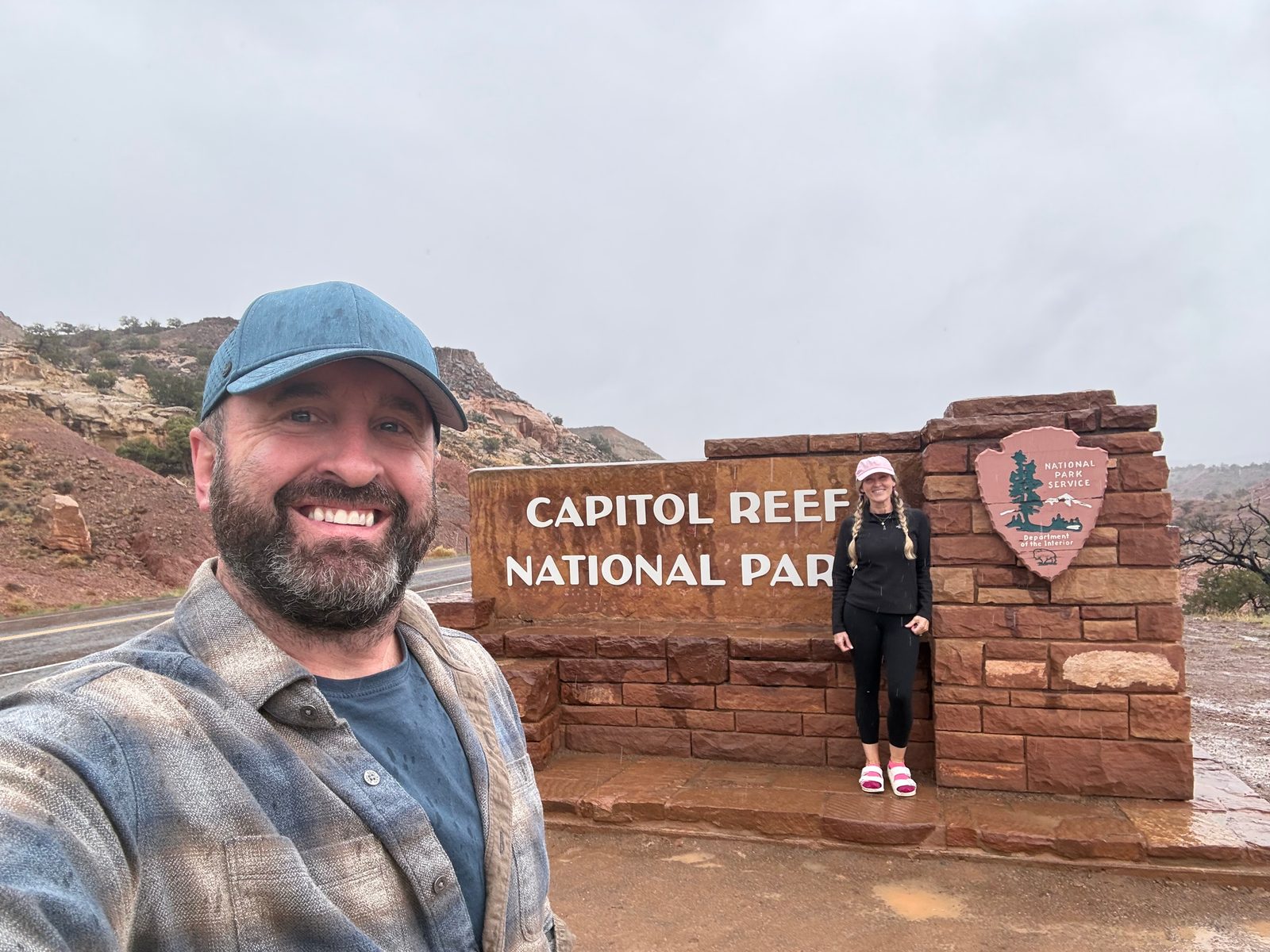 Photoassets/capitol-reef-sign.jpeg
Trisha did find the one thing in the park the weather does not touch. The Gifford House, an old homestead in the orchard settlement of Fruita, sells pies, and she came out with peach and mixed berry.
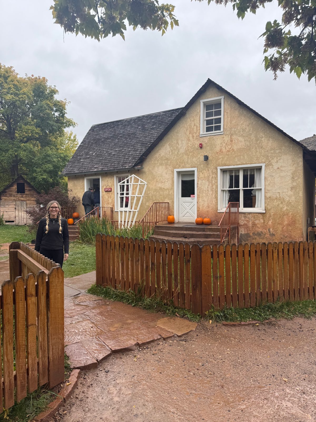 Photoassets/capitol-reef-gifford-house.jpeg
Named for a building and a reef, and it is neither
Capitol is for the white sandstone domes along the Fremont River, which early settlers thought looked like the dome of the U.S. Capitol. Reef is for the cliffs: the story goes that prospectors who had been to sea saw a long wall of rock blocking the way and called it what sailors call that.
The wall is the Waterpocket Fold, a wrinkle in the earth's crust close to 100 miles long. For most of history it was a barrier you went around, and roads still barely cross it.
And those white domes are Navajo Sandstone. The same old sand dunes we waded up through in the Narrows three days earlier.
Per the park's history and geology summary and National Parks Traveler, citing park geologists.
We could barely see the fold through the rain. We knew it was there. That will have to do.
The verdict · Capitol Reef
One-Time Visit
Last of five, and honest about it.
Capitol Reef finished at the bottom of our list, and that is a verdict on the day we had: a long drive, steady rain, a paved road, and pie. We drove it, we got the pie, and we are calling it done.
If you go, go when it is dry, and go for the hikes and the dirt roads we could not do. Get to the Gifford House early.
Stop 4 of 5 · Thursday
CanyonlandsMoab, Utah
Mesa Arch, and a lot of air
Thursday was Canyonlands, the Island in the Sky district, and we loved it. It was cloudy again. We made the best of it.
Visitor center first. Then the overlook above the Shafer Trail, a dirt road that switchbacks straight down off the cliff. Then Mesa Arch, Upheaval Dome and the Green River Overlook.
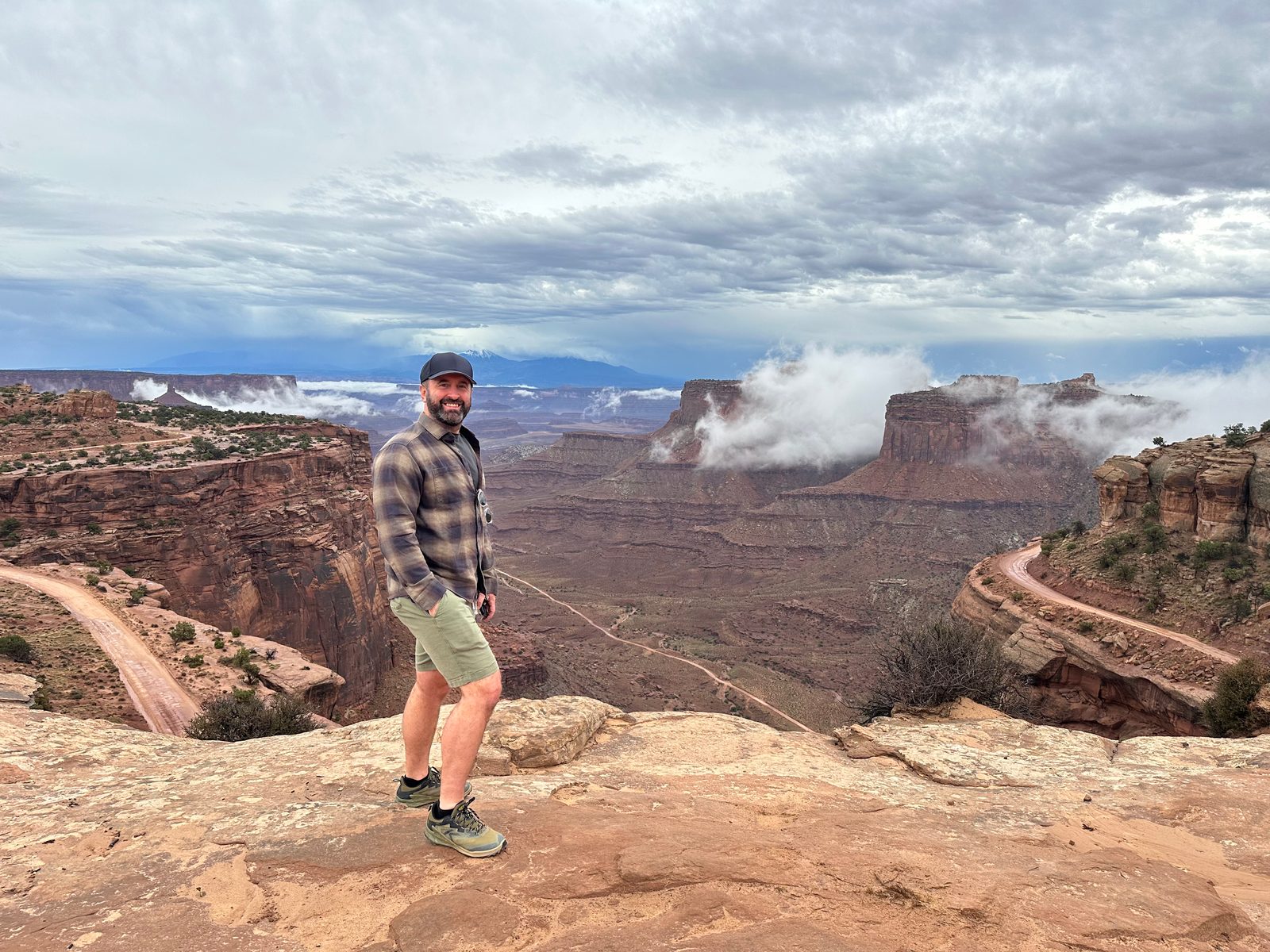 Photoassets/canyonlands-shafer.jpeg
Every stop was vast. That is the word for Canyonlands. Zion puts walls around you. Canyonlands takes them away and leaves you on the edge of a mesa with nothing between you and the horizon.
Mesa Arch is the one that quieted both of us. It sits right on the lip of the cliff, so the arch frames a drop and the canyon country below it, and even under a gray sky it was the one.
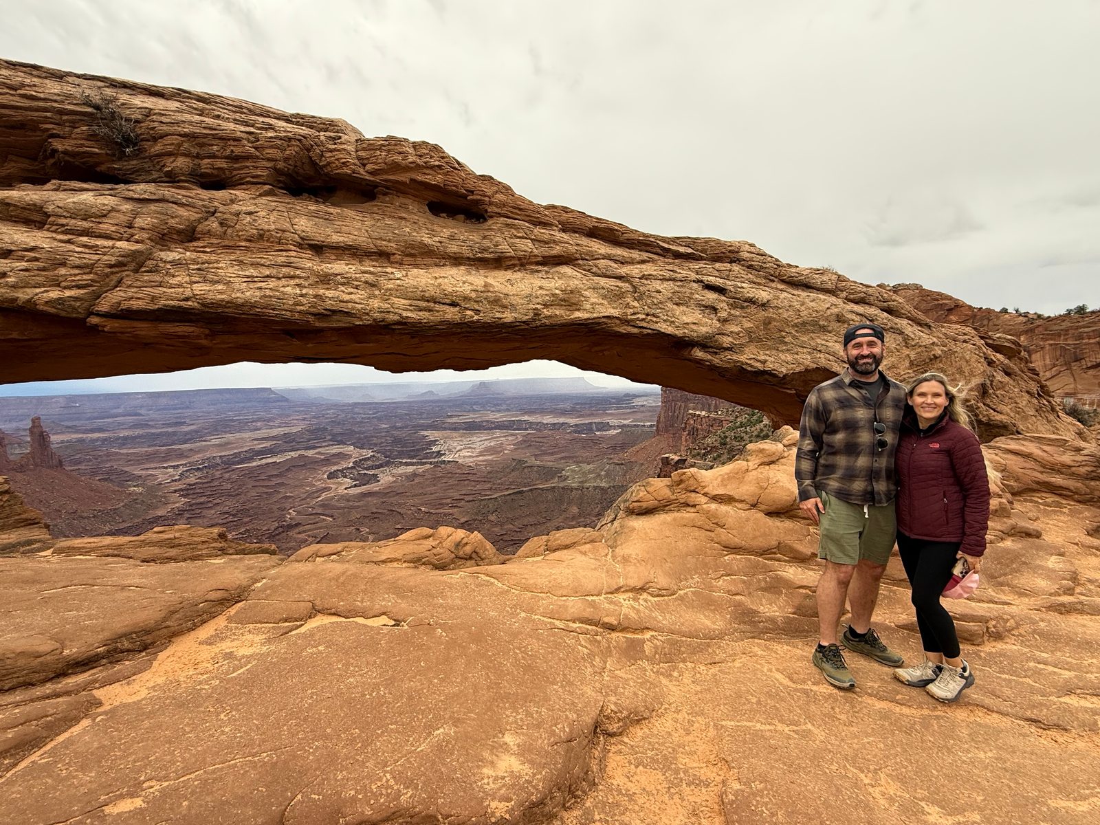 Photoassets/canyonlands-mesa-arch.jpeg
Something hit it. Or something came up through it.
Upheaval Dome is a crater a few miles across with a jumble of gray-green rock pushed up in the middle, and geologists have argued about it for decades.
One answer is a meteorite. In the park's telling, roughly 60 million years ago something about a third of a mile across hit here, and erosion has since stripped away the top of the crater. In 2008, researchers reported shocked quartz from the dome, sand grains deformed in a way that takes the pressure of an impact, and called the case closed.
The other answer is salt: a bubble of ancient salt rising from deep underground, pushing the rock up and then dissolving away. The park still presents both.
Per the National Park Service, Upheaval Dome, and National Parks Traveler on the 2008 shocked quartz study.
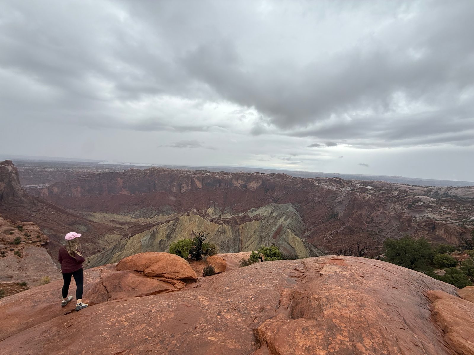 Photoassets/canyonlands-upheaval-dome.jpeg
We stood on the rim of a hole in the ground the experts still argue about. Pick a side. The park has not.
The verdict · Canyonlands
One-Time Visit
Vast, and done in a day.
We gave Canyonlands one cloudy day in its most visited district, saw everything we stopped for, and loved all of it. The park is enormous and we never touched the other districts. That is not what this rating measures. It measures whether we need to come back, and Island in the Sky gave us everything we came for in a day.
Start at the visitor center, drive the one road, and do not skip Mesa Arch.
Stop 5 of 5 · Friday
ArchesMoab, Utah
Our last day, and the most arches
Friday was our last full day, and Arches was amazing.
We started at Delicate Arch, the one on the license plates, and hiked all the way to it rather than looking from the viewpoint.
Then Devils Garden, where we walked out to the first three arches on the trail: Tunnel Arch, Pine Tree Arch and Landscape Arch. From a viewpoint by Landscape we could see two more, Partition and Navajo.
Sand Dune Arch was our favorite in the park. It is not the biggest or the most famous. It is tucked in between two walls of rock at the end of a short sandy path, and that is the whole appeal: you walk into a gap in the stone, and the arch is waiting in there.
And in the evening we went back into the park for Double Arch at golden hour.
More than two thousand arches, and none of them permanent
Arches has more than 2,000 known arches. To count, an opening has to be at least three feet across.
Landscape Arch, one of the three we walked to, is the longest in the park, a thin ribbon of rock roughly 290 feet across. In 1991 a slab around seventy feet long fell out from underneath it. More rock fell after that, and the trail that used to pass beneath it was closed.
In 2008, Wall Arch, just past Landscape on the same trail, collapsed during the night. Nobody saw it go. Campers nearby reported hearing thunder under a clear sky.
Per the National Park Service, Wall Arch Collapses (2008), and the measured record of Landscape Arch. The three-foot rule per Grand Canyon Trust.
Every arch in that park is somewhere between a crack and a pile of rock. We happened to visit during the part where they are arches. That is the best argument for going soon rather than someday.
The verdict · Arches
Go Back
Unfinished business.
Arches came second on our list, behind only Zion, and it is a Go Back because something was left on the table and we know exactly where. Devils Garden keeps going past the first three arches, and we stopped at Landscape.
One day got us eight arches, counting the two we saw from a viewpoint, the last of them at golden hour. Next time, the rest of that trail.
Fifteen down
We had the trip ending Sunday. We drove home Saturday.
This was our last planned adventure of 2026. Five parks in one trip takes the list on this site from ten parks to fifteen, and puts the first Top 5 on it.
My Whoop kept count the whole way: 105,964 steps in seven days. And the steps rank the parks almost exactly the way we did. Bryce beat Canyonlands, Canyonlands beat Capitol Reef, and the rain day at Capitol Reef was the lowest of the trip by a distance. The one disagreement is at the top, where Arches beat the Narrows by twenty-four steps.
Zion keeps first place anyway.
Steps per day, October 17 to 23
From my Whoop. The drive home on the 24th is not counted.
- Sat 17Vail to Zion, Emerald Pools
- Sun 18Zion, the Narrows
- Mon 19Scout Lookout, then Bryce
- Tue 20Bryce Canyon
- Wed 21Capitol Reef, in the rain
- Thu 22Canyonlands
- Fri 23Arches
Steps by day, as a table
| Day | Where | Steps |
|---|---|---|
| Sat, Oct 17 | Vail to Zion, Emerald Pools | 15,151 |
| Sun, Oct 18 | Zion, the Narrows | 20,804 |
| Mon, Oct 19 | Scout Lookout, then Bryce | 17,355 |
| Tue, Oct 20 | Bryce Canyon | 13,162 |
| Wed, Oct 21 | Capitol Reef, in the rain | 7,437 |
| Thu, Oct 22 | Canyonlands | 11,227 |
| Fri, Oct 23 | Arches | 20,828 |
| Seven days | 105,964 | |
If we had to send somebody to just one of the five, it would be Zion, and it would be for the Narrows. Rent the socks. Walk past two miles. Then keep going.
Fifteen down. Forty-eight to go.